The Indonesian Peat Prize competition has been organised to find and establish a national standard for mapping the country’s peat most efficiently
Peat, a deposit of dead plant material, is often an early stage in coal formation, which helps explain why it burns so readily – and emits greenhouse gases so prolifically – when dried.
The competition will establish a national standard for mapping peatland extent and thickness, a process deemed essential to stopping the annual forest and peat fires.
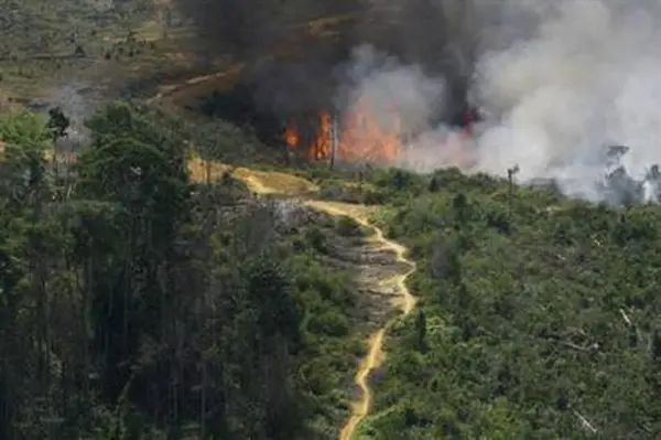
Last dry season, an area the size of Rwanda was burned, afflicted half a million people with respiratory problems, pumped an enormous amount of carbon into the atmosphere and cost Indonesia US$16bn, according to government and World Bank figures.
The competition’s goal is to identify ‘the most useful technology and methodology’ for mapping peat, which the government will ostensibly turn toward creating a more precise reference that everyone can agree on.
“We’re looking for a method that’s fast, accurate and affordable,” BIG chief Priyo Kardono said at the competition’s launch.
Proposals are due on 11 May and entrants are required to either be Indonesian or have a local partner.
The competition is hosted by Indonesia’s geospatial agency, BIG, and funded by the Packard Foundation.


