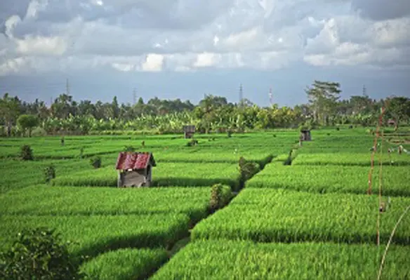
Intermap Technologies, a global leader in 3D geospatial products and intelligence solutions, announced a contract to supply 3D digital elevation models (DEMs) to reduce crop loss for an agricultural company in Indonesia
Indonesia’s economy relies on its agricultural sector, employing one third of its labour force and representing approximately 14% of its GDP. With one of the world’s largest agricultural productions, the sector plays a vital role in supporting the country’s growth and development.
The country is utilising the Intermap’s precision data for monitoring and site assessment over large areas across the islands of Sumatra and Borneo. The company’s innovative datasets provide the client with critical information to manage their plantations efficiently, resulting in better yields. Elevation data is a key tool for agriculture companies as they decide when to irrigate and fertilise, which results in reduced crop loss due to pests and diseases.
Leveraging its one-of-a-kind data and analytics, Intermap is working with major agriculture and natural resources entities throughout southeast Asia. These growing commercial applications, including the related positive economic, jobs, and climate effects, reinforce the urgency for national governments to update and maintain best-in-class geospatial infrastructure. The company believes a significant amount of future growth will follow from these contract awards.
“We are excited to be at the forefront of applying our data and innovative technology for agricultural resource management,” said Patrick A. Blott, Intermap chairman and CEO. “Our products enable farmers to make informed decisions about plantations from a sustainable, economic and environment conscious perspective.”
The company’s 3D elevation models provide detailed, highly accurate information about plantation terrain and topography while supporting imagery provides up-to-date information about crop growth and land use changes. By combining these two technologies, agricultural companies can create a comprehensive representation of plantations and surrounding environments.


