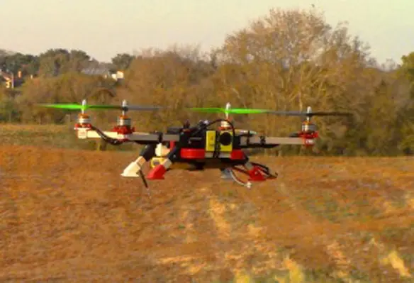
Drone-enabled software company Agribotix has launched its new cloud-based Bring Your Own Drone solution for farmers using drones for agricultural data collection
According to the company, the data processing solution could take images from any drone and combine them to return a single view of a field.
Paul Hoff, CEO of Agribotix, said, “During our first year of flying our drones over crops, we discovered that drone pilots need a simple way to produce reports that are useful to a farmer. This includes everything from an overhead view of a field used to spot problem areas, to a zone map for precise fertiliser application. We have developed a solution that addresses these needs and more.
“Agricultural drone pilots do not want to be software experts — they want to focus on the business of producing reports for their customers that maximise crop yields and improve their bottom line. We give them a very high level of customer service and fast turnaround so that they can act quickly, before conditions change.”
Hoff noted that the resulting reports could be imported into virtually any farm data management system.


